-
-
-
UAV REMOTE COMMAND AND MANAGEMENT PLATFORM
UAV CLUSTER TECHNOLOGY
GCS
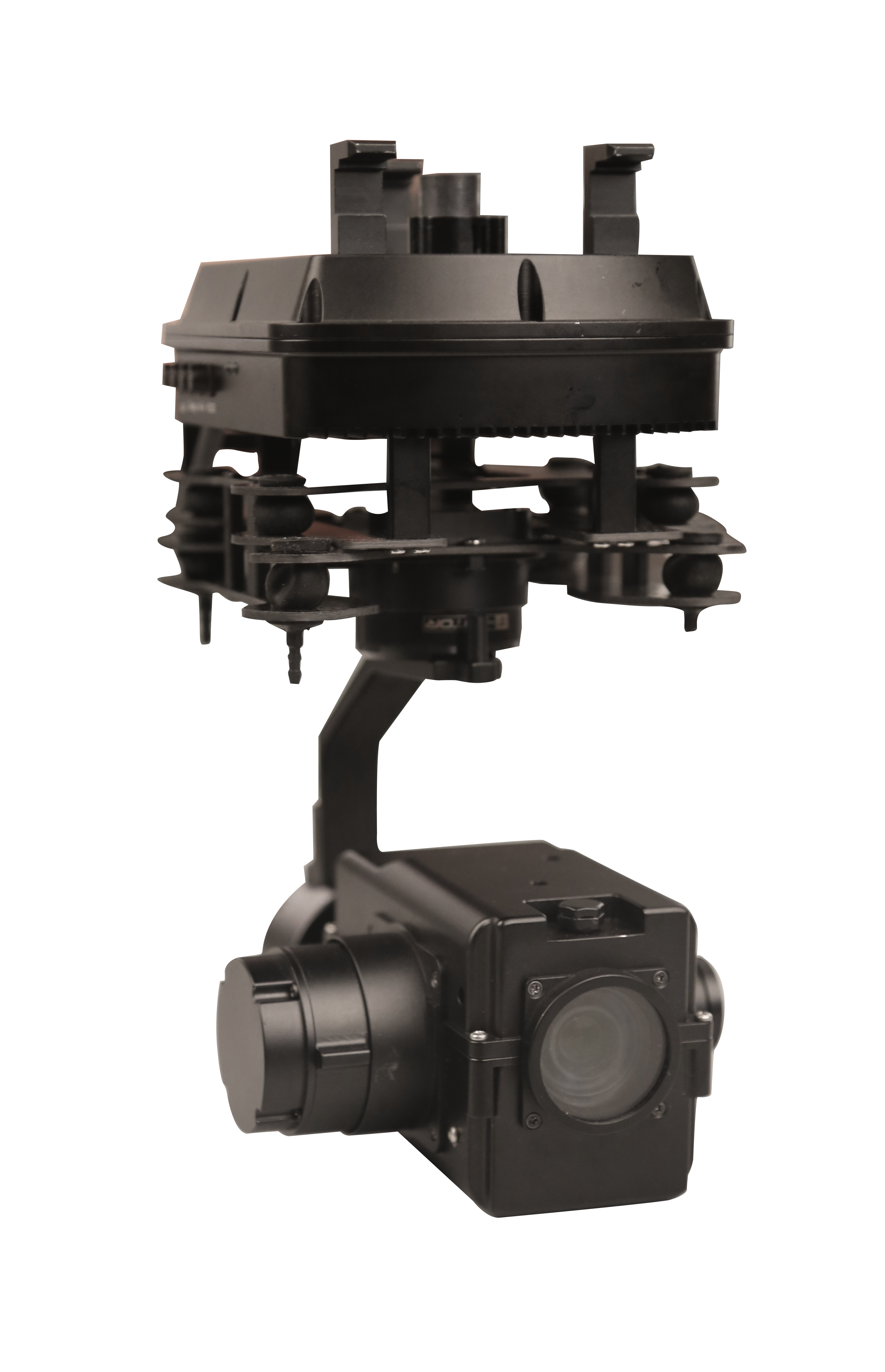
PAYLOADS
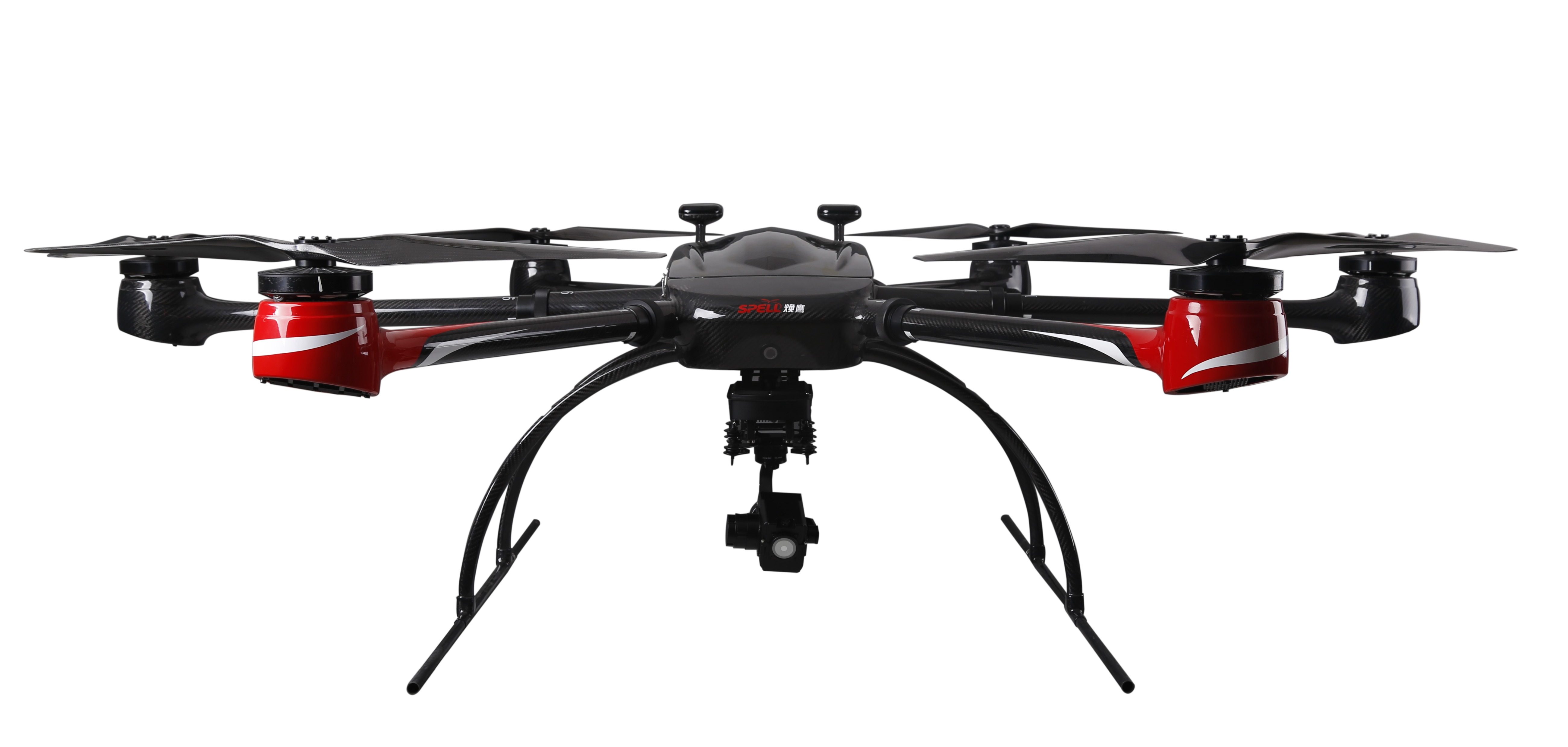
Multi-rotor Drone
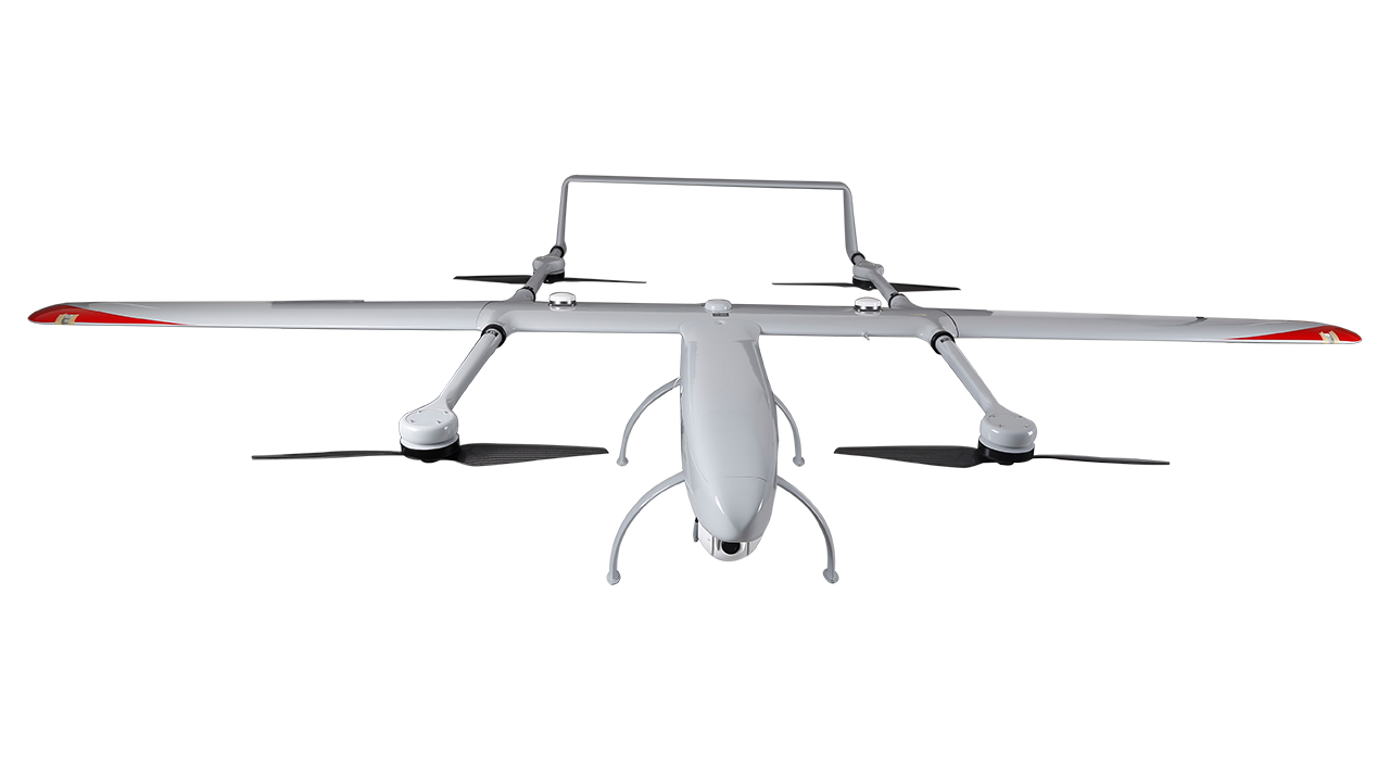
Composite-wing Drone
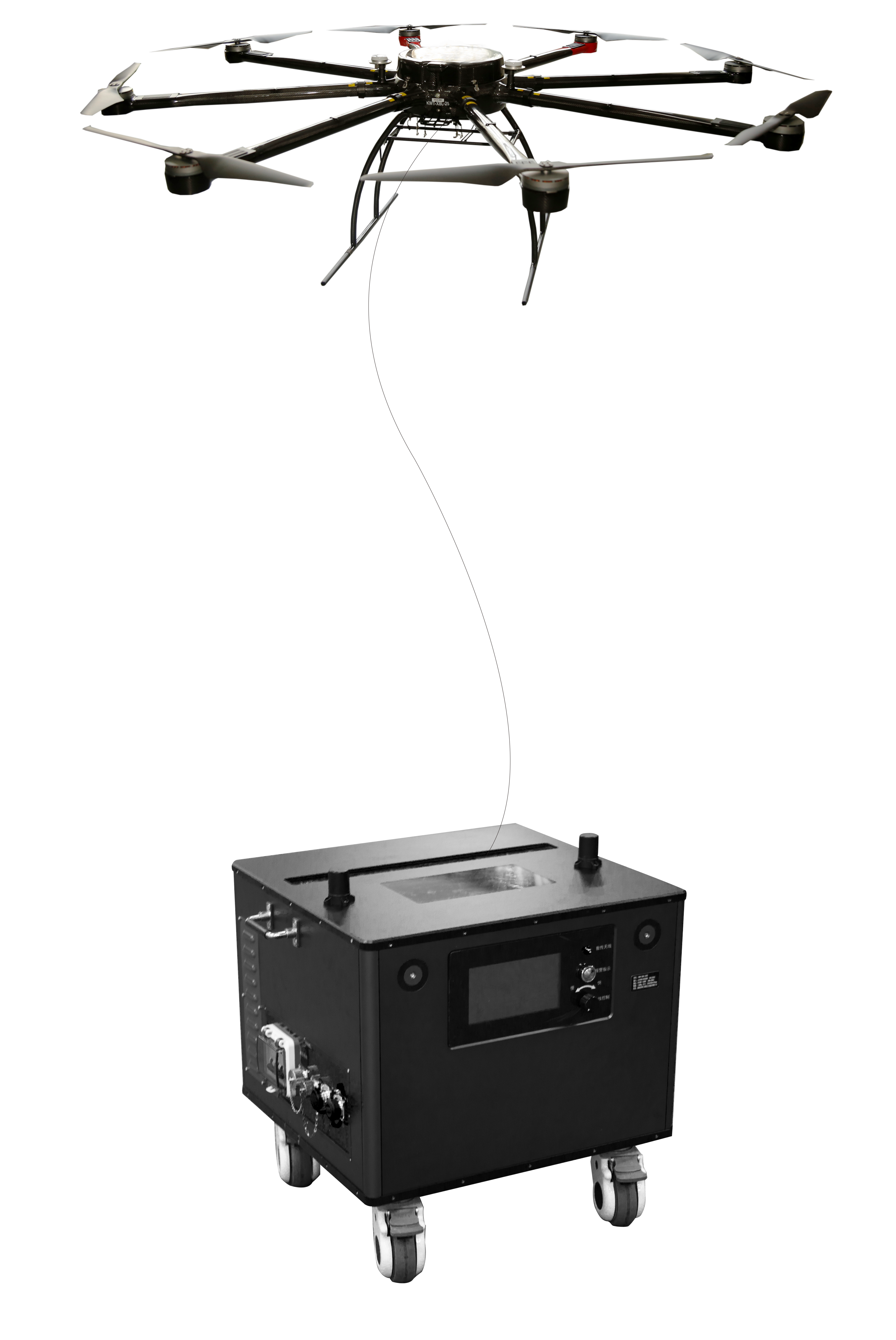
Tethered UAV Systems
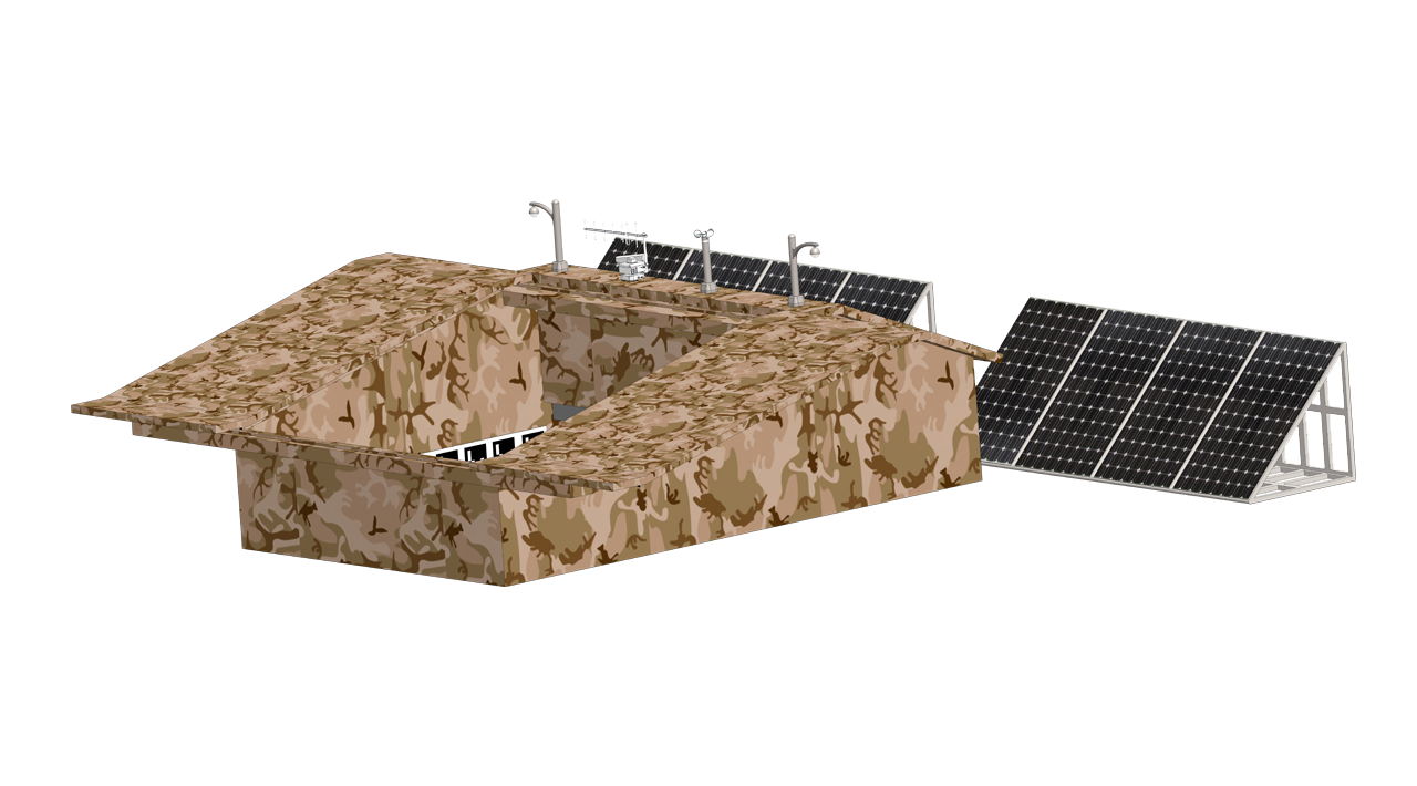
INTELLIGENT DRONEPORT
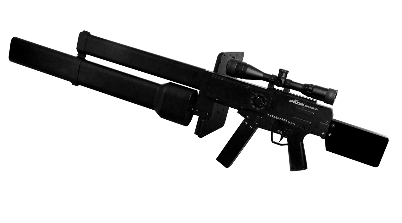
ANTI UAV SYSTEMS
-
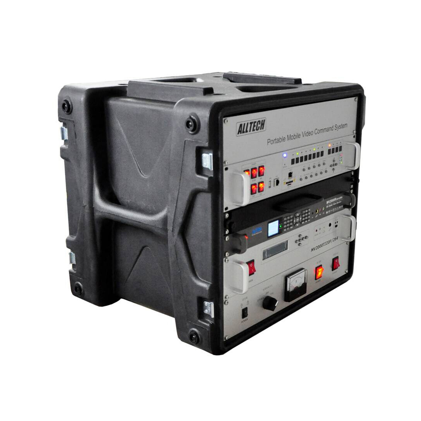
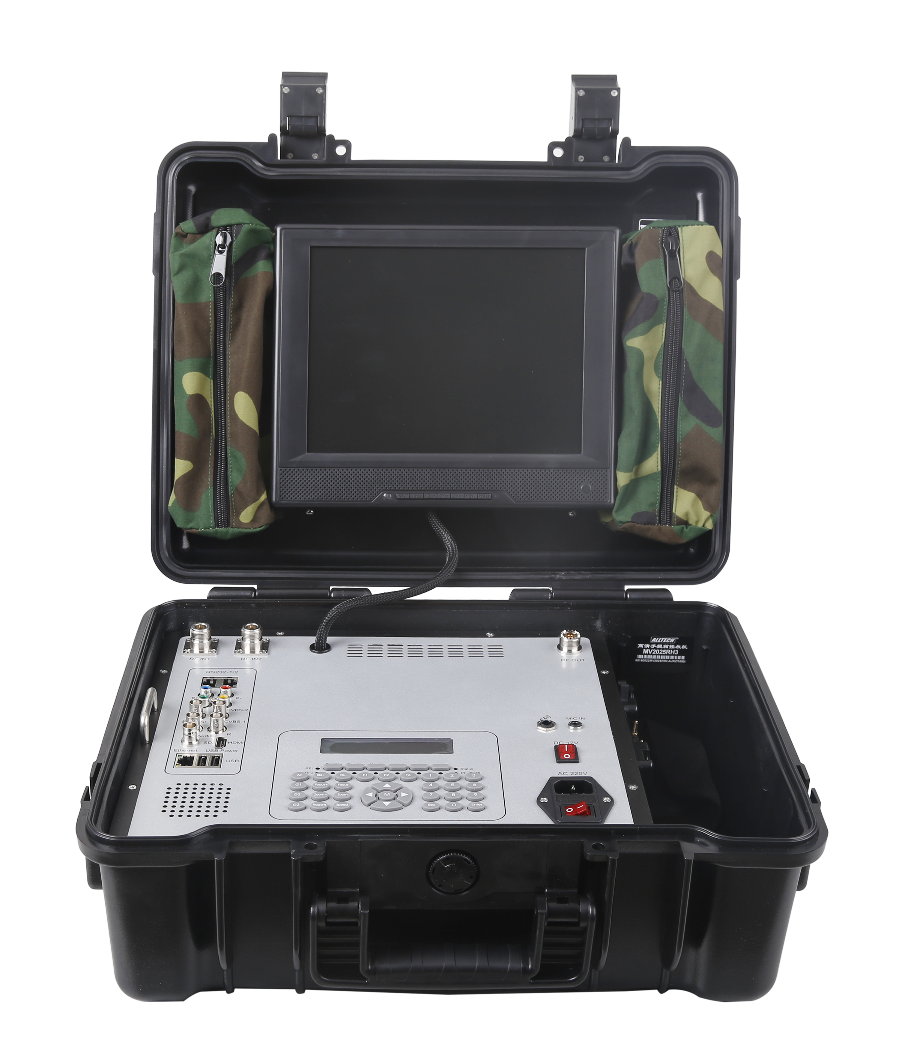
HD MOBILE VIDEO RECEIVER SERIES
INTEGRATED SYSTEMS
FAST WIRELESS NETWORK SERIES
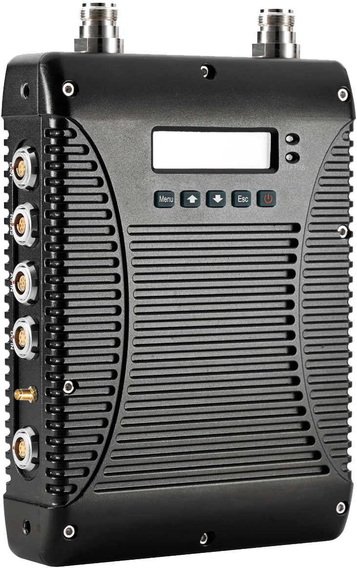
HD MOBILE VIDEO TRANSMITTER SERIES
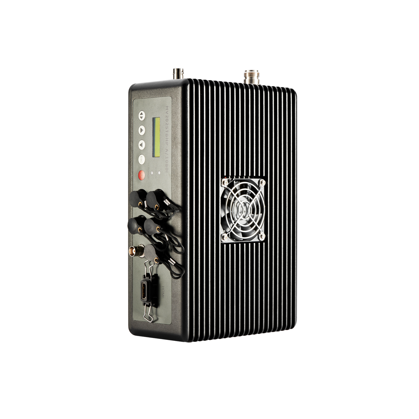
- Manpack HD Mobile Video Transmitter with Duplex Audio MV2000/MV2025TBHP-A(G)/1080i
- Manpack HD Mobile Video Transmitter with Duplex Audio MV2025TBMP-A/1080i
- Camera mount HD Mobile Video Transmitter Series MV2025TKMP(-AG/1080i)
- Rack Mount HD Mobile Video Transmitter MV2025TJ20P-AGR/1080i
- Explosion-proof Manpack Mobile Video Transmitter MV2025-T/Ex
- Handheld Explosion-proof Wireless Camera MV2025TFMP-AJS/1080P
- Hidden Camera Mobile Video Transmitter MV2025TWLP/MV2025TWSP
- Handheld Mobile Video Transmitter MV2025TWSP
-
-
POLICE&LAW ENFORCEMENT
INDUSTRY SECURITY
EMERGENCY RESCUE
-
-
-
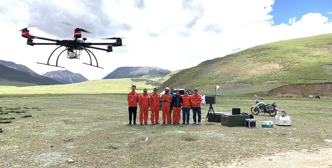
Aerial Mapping and Surveying
UAV aerial survey application:
● Digital City Construction
● Engineering Design
● City planning
● Land and resources survey
● Mineral planning and development
● Investigation of debris flow, collapse and landslide
● Geological disaster emergency rescue
● Island surveying
● Route planning
● Detection of high-risk areas
● Railway and highway construction survey
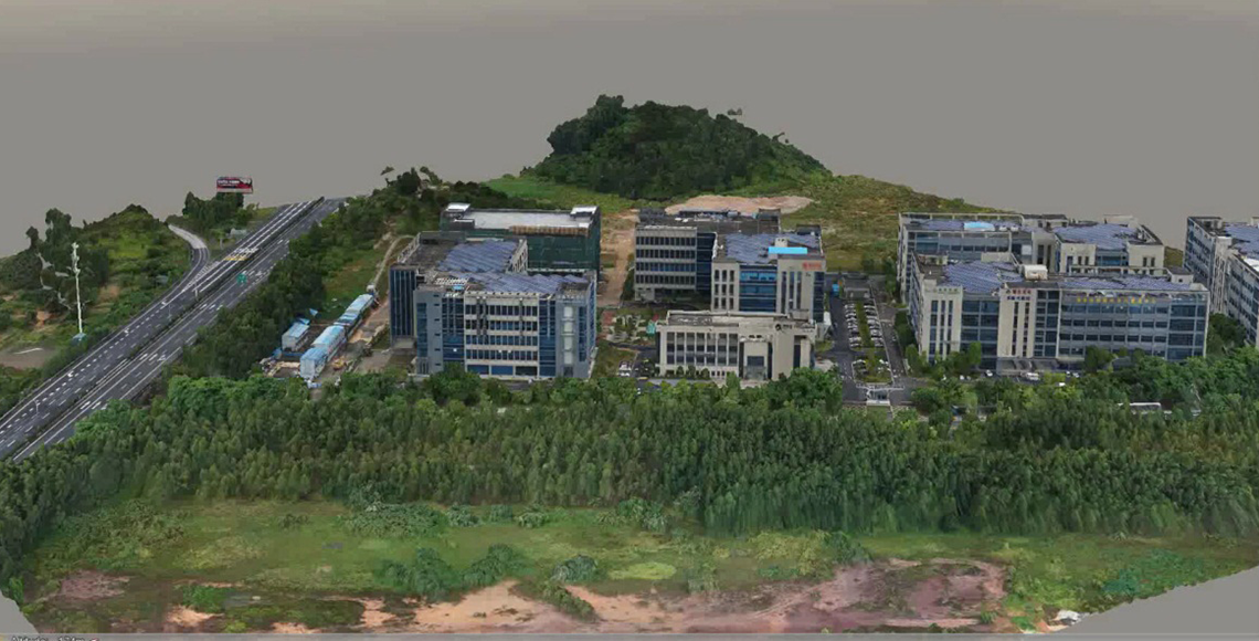
Oblique photography
Oblique photography was a high-tech developed in the field of international remote sensing and surveying and mapping in recent years. It breaks through the limitation that traditional aerial survey single cameras can only take orthophotos from vertical angles. By mounting multiple image sensors on the same flight platform, real images with spatial information can be collected simultaneously from multiple angles at vertical and tilt angles,in order to obtain more comprehensive details of features and textures.True 3D data of oblique photography can realistically reflect appearance, location, height and other attributes of features of the land, make up for the shortcomings of traditional artificial modeling. At the same time, Alltech drones with oblique cameras for mapping and surveying can bring a revolutionary efficiency improvement to the surveying and mapping industry.
Advantages of UAV surveying and mapping:
1. Portable, simple operation, quick response, autonomous flight.
2. Modular design, drones can work with different small remote sensors payloads, which is easy to expand monitoring function to meet urgent needs.
3. Reasonable cost, low speed, high endurance, long distance, high reliability, HD image.
4. Around 15-minute preparation time, vehicle-mounted system can quickly reach the station and improve its efficiency.
5. The ground station can do routing planning, digital gimbal combined with GPS, the system can provide precise positioning and automatic flight.
6. 1km low-altitude operation, convenient airspace application, highly integrated rainproof design, high wind resistance, low weather requirements.
7. Low take-off and landing environment requirements, easy to move and transition, flexible response to complex field surveying and mapping environment and obtain accurate images, not only can complete traditional manned aircraft photography tasks, but also can enter into the areas that traditional means can not cover.
8. Complete tasks in a short time, multi-format data can be quickly acquired
9. Only a small number of field control points need to be collected to free up labor
在线报名
