-
-
-
UAV REMOTE COMMAND AND MANAGEMENT PLATFORM
UAV CLUSTER TECHNOLOGY
GCS
PAYLOADS
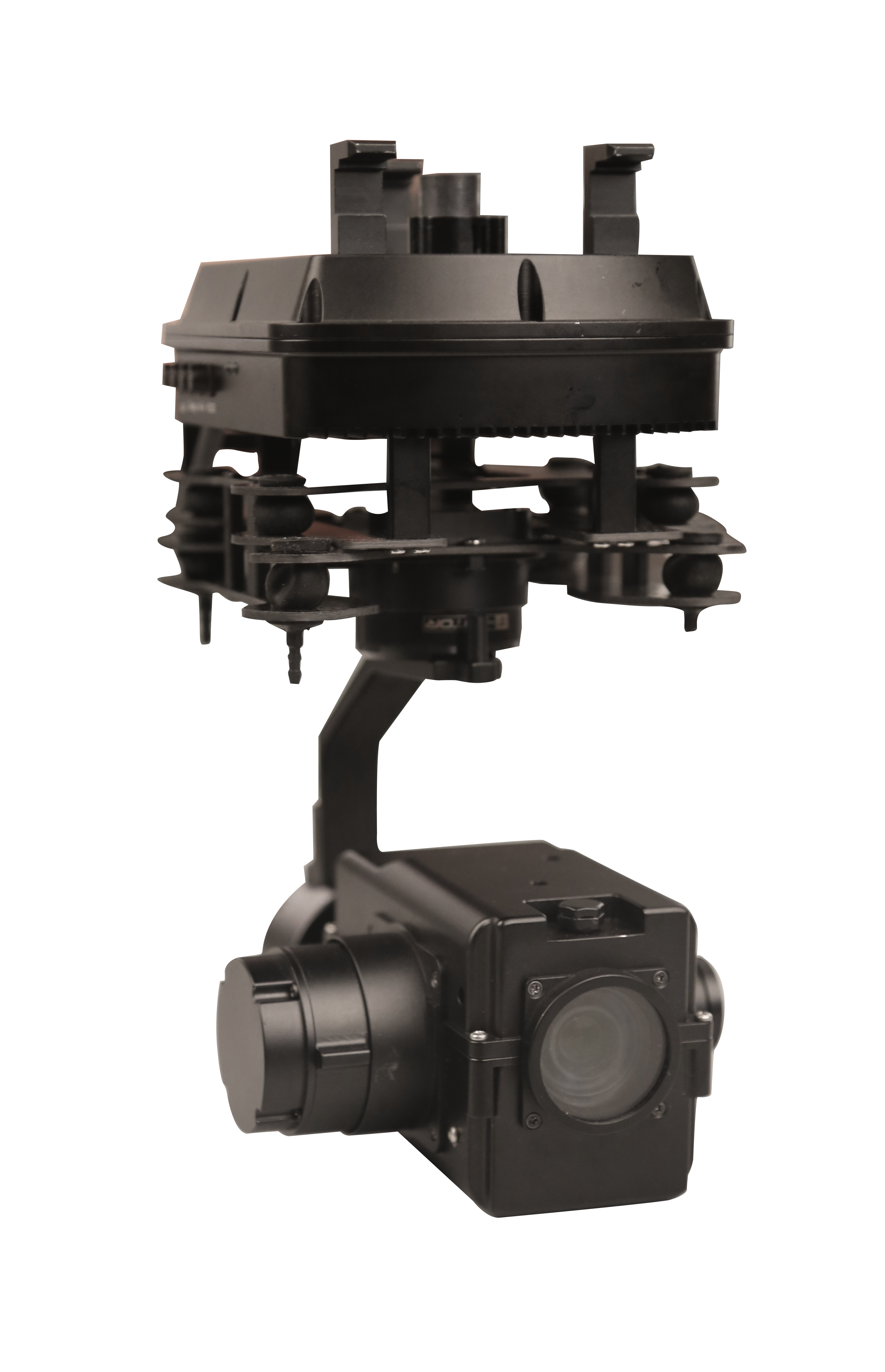
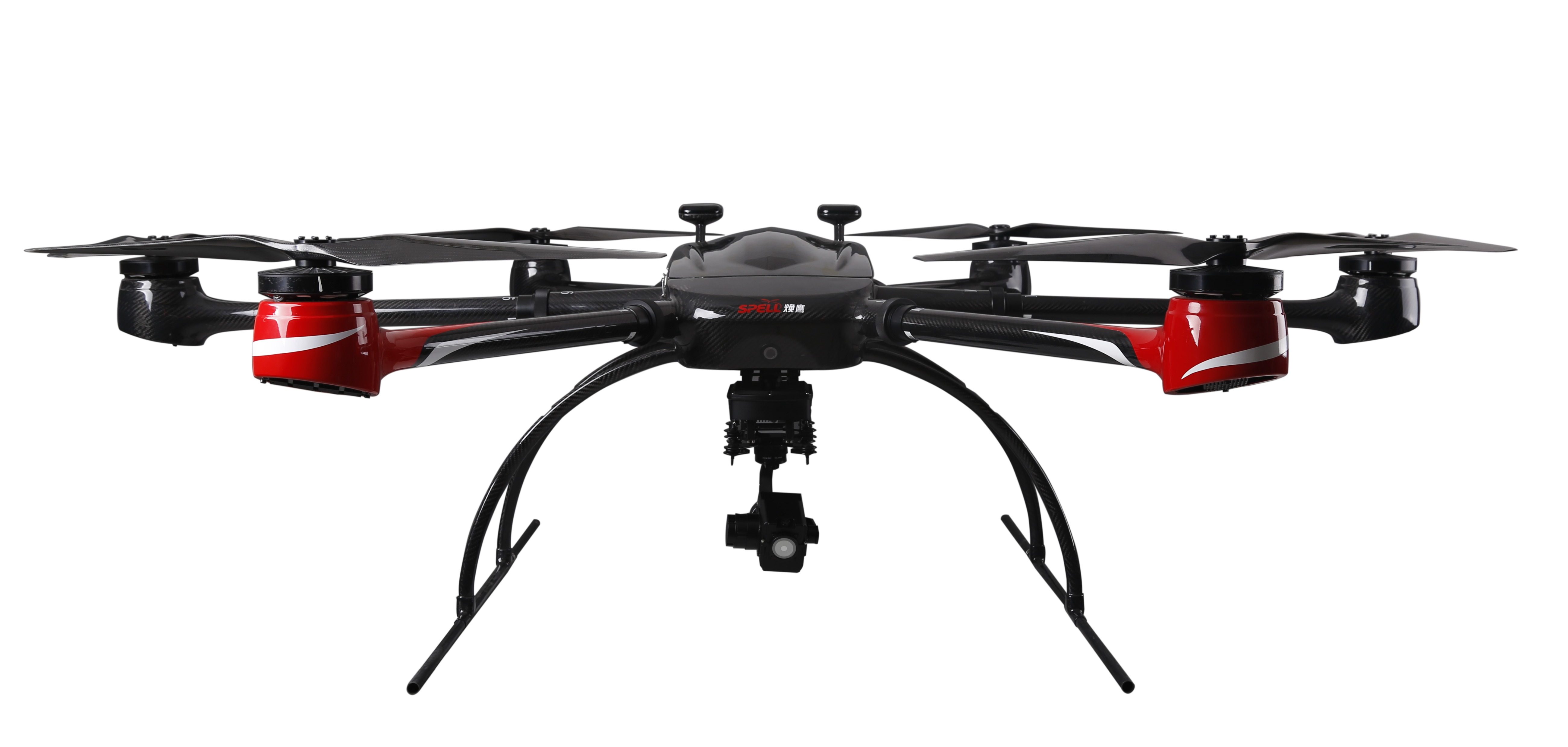
Multi-rotor Drone
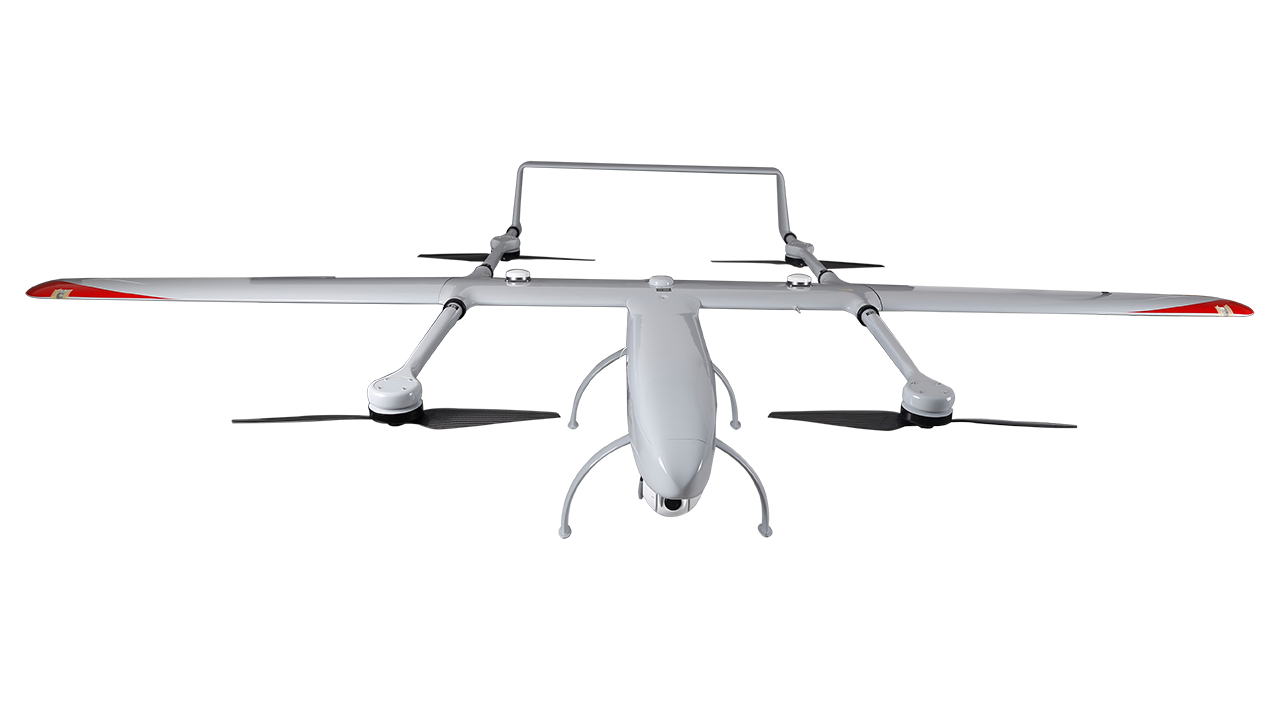
Composite-wing Drone
Tethered UAV Systems
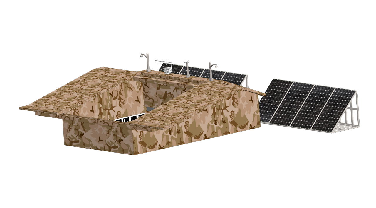
INTELLIGENT DRONEPORT
ANTI UAV SYSTEMS
-
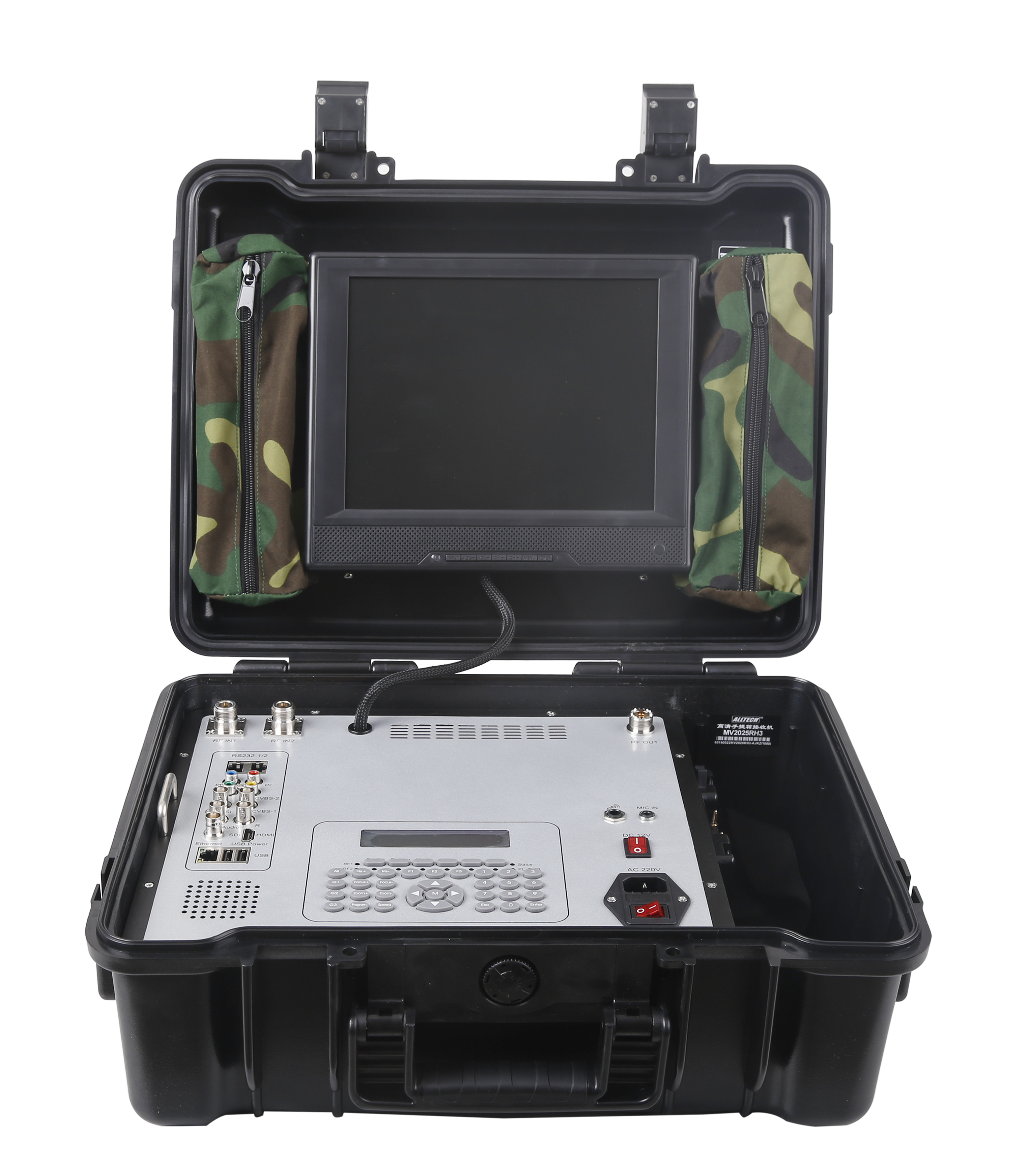
HD MOBILE VIDEO RECEIVER SERIES
INTEGRATED SYSTEMS
FAST WIRELESS NETWORK SERIES
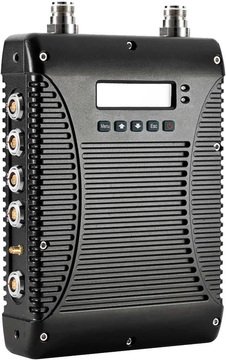
HD MOBILE VIDEO TRANSMITTER SERIES
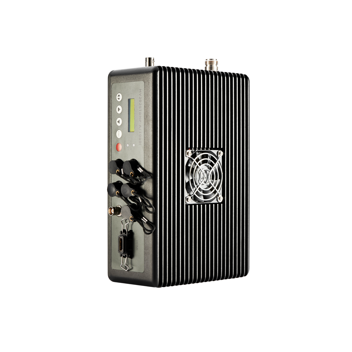
- Manpack HD Mobile Video Transmitter with Duplex Audio MV2000/MV2025TBHP-A(G)/1080i
- Manpack HD Mobile Video Transmitter with Duplex Audio MV2025TBMP-A/1080i
- Camera mount HD Mobile Video Transmitter Series MV2025TKMP(-AG/1080i)
- Rack Mount HD Mobile Video Transmitter MV2025TJ20P-AGR/1080i
- Explosion-proof Manpack Mobile Video Transmitter MV2025-T/Ex
- Handheld Explosion-proof Wireless Camera MV2025TFMP-AJS/1080P
- Hidden Camera Mobile Video Transmitter MV2025TWLP/MV2025TWSP
- Handheld Mobile Video Transmitter MV2025TWSP
-
-
POLICE&LAW ENFORCEMENT
INDUSTRY SECURITY
EMERGENCY RESCUE
-
-
-
City Management
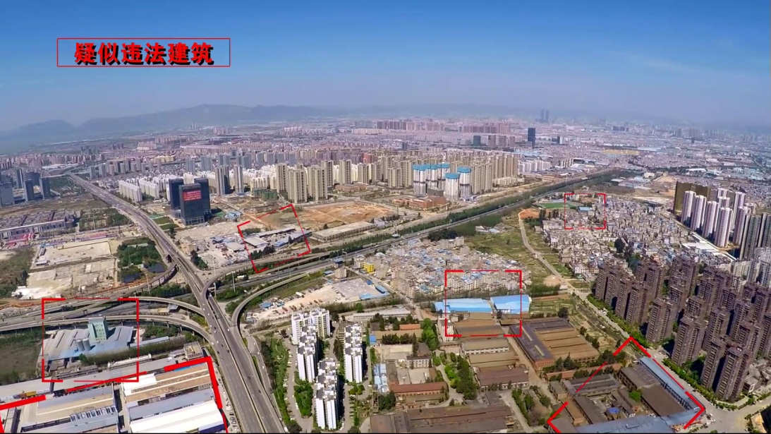
Investigate and deal with illegal construction
Drones are convenient to operate, and it can break through 2 dimensional restriction. It can realize dynamic supervision for hidden and illegal construction on the roof, expose all illegal construction of the roof, avoid shortcomings like difficult discovery/evidence collection and control .
Cityscape Sanitation
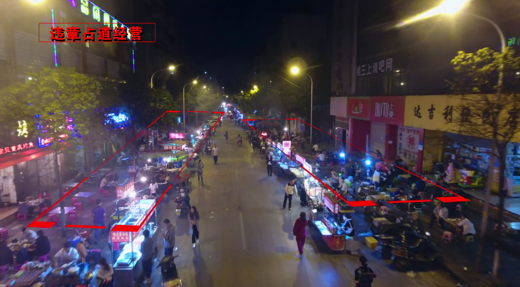
High-altitude and wide-angle are UAV systems’ advantages,which can make up for narrow labour’s perspective. The drone can shoot and send back real-time images/videos and instantly find out the problems of the city environment and sanitation, and accurately capture live photos as evidence. Using drones to conduct flight patrols on major and secondary roads and streets in various districts, breaking old outdated patrols, the entire area will be in clear view, the whole process will be in high efficiency.
Environmental protection
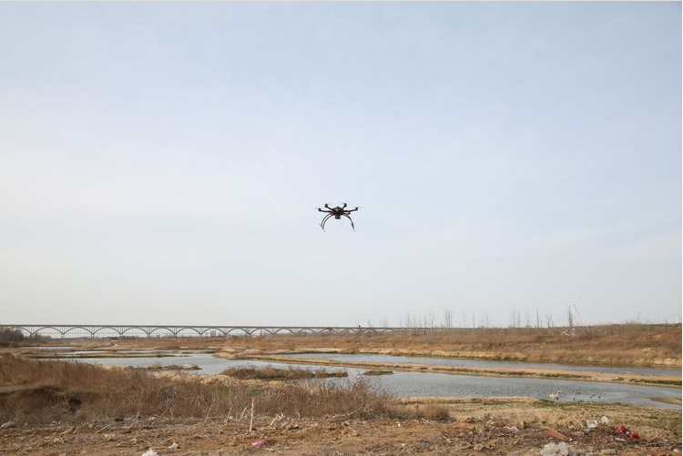
Due to rapid industrial development, wide variety of pollutant emissions, large amount of pollutant emissions, large number of polluting enterprises,etc.,which have caused many environmental monitoring failures. Regarding intensive tasks and complex environmental pollution problems, UAV remote sensing systems can be used to make up for the deficiencies in this regard, increase as multi monitoring methods as possible, strengthen intensity of environmental monitoring, UAV remote sensing system can do detailed data analyzing on the distribution of pollution sources, the status of pollution discharge, and construction of the project to provide some important basis and technical services for subsequent environmental monitoring. This rapid monitoring method is also conducive to timely evidence collection after pollution incidents.
Planning and measurement
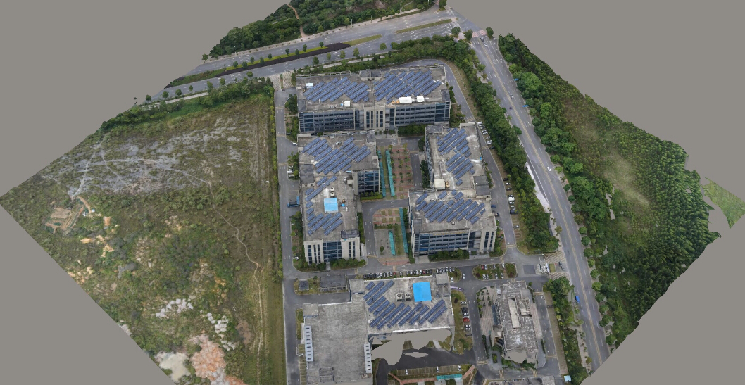
UAV aerial mapping&surveying systems include a drone platform and remote sensing camera payloads like high-resolution CCD digital cameras, light optical cameras, infrared scanners, etc., and image information processor by a computer to reconstruct a three-dimensional environment. The overall layout plays a scientific auxiliary role for rational planning of urban construction.
UAVs are applied for city management, which can effectively improve city management and service levels, to a great extent, accelerate the process of city governance, and play a positive role in urban development.
Application range of UAV in city management:
Municipal facilities
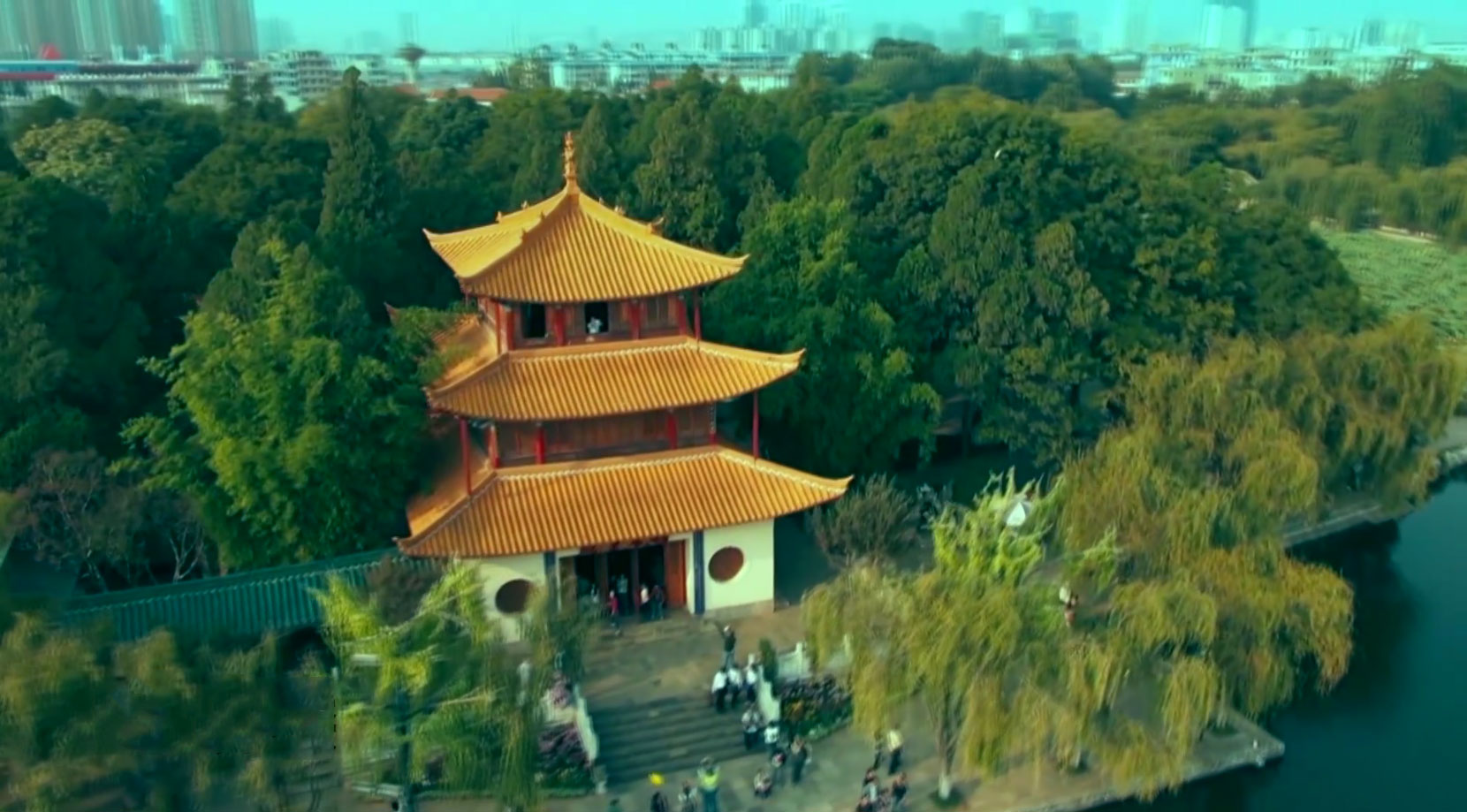
Use drones to inspect urban public facilities, such as bridges, pipelines, dams, parks, parking lots, and so on,to make sure facilities in safe status.
在线报名
